Vintage Maps Of Canadian Provinces 7 Wonderful National Geographic 1978 & 1990’s
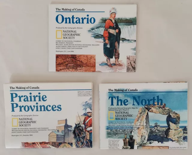
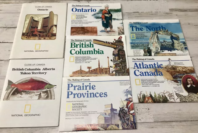
Seven Vintage Maps Of Canadian Provinces, Wonderful National Geographic 1978 & 1990’s. Two maps from the Geographic 1978 “Close-Up Canada Collection”; British Columbia with Alberta and the Yukon Territory, as well as Ontario. Five maps are from the National Geographic collection called “The Making of Canada” released in the 1990’s; British Columbia from April 1992, Atlantic Canada from October 1993, Prairie Provinces from December 1994, Ontario from June 1996, and The North from September 1997. These maps have been stored at my elderly neighbors smoke free home for all of these years and seldom if ever unfolded until I opened them for photography. They have no frayed edges, no bent corners, and I identified only one small crease tear which I have shown in the photo of the Prairie Provinces. Geographic maps are filled with information of all sorts on the reverse side, making them a treasure to own.
- Condition: Used
- Year: 1990
- Region: Canada
- Country/Region of Manufacture: United States
PicClick Insights - Vintage Maps Of Canadian Provinces 7 Wonderful National Geographic 1978 & 1990’s PicClick Exclusive
- Popularity - 0 watchers, 0.0 new watchers per day, 291 days for sale on eBay. 0 sold, 1 available.
- Best Price -
- Seller - 138+ items sold. 0% negative feedback. Great seller with very good positive feedback and over 50 ratings.
People Also Loved PicClick Exclusive

60 + Vintage road maps lot 1950 s to 1990 s Canadian cities provinces
$18.15 0 Bids 6d 14h
Lot of 4 Vintage Canadian Maps
$21.00 Buy It Now 1d 14h
⫸ 1990's THE MAKING OF CANADA SERIES OF 6 MAPS National Geographic Lot- A3
$27.00 Buy It Now 25d 10h
Lot Of 3 Vintage Canadian Maps
$22.00 Buy It Now 5d 12h
Vintage National Geographic Close-Up Canada Maps Set of 4 - Great Condition!
$9.99 Buy It Now 1d 18h
1890 John Bartholomew Large Antique Map Canada Manitoba & Western Provinces, NFL
$36.30 Buy It Now
 1950's National Parks Prarie Provinces Canada Maps Vtg Tourist Pamphlet Booklet$17.17 Buy It Now or Best Offer
National Geographic Lot of 7 Magazine Fold Out Maps Canada Provinces BC, QC, ON
$14.69 Buy It Now or Best Offer
Making of Canada National Geographic Inserts, Lot of 3 Educational Maps /Posters
$6.99 0 Bids or Buy It Now 5d 12h


