1940 Or Showa 15 Index Map Of The Sea Charts Of Imperial Japan
$295.00 Buy It Now or Best Offer, $15.00 Shipping, 30-Day Returns, eBay Money Back Guarantee
Seller: geographicusmaps ✉️ (4,754) 100%,
Location: Nescopeck, Pennsylvania, US,
Ships to: WORLDWIDE & many other countries,
Item: 352661027134
1940 OR SHOWA 15 INDEX MAP OF THE SEA CHARTS OF IMPERIAL JAPAN.
Terms and Conditions Shipping: Unless contraindicated in the item description or prior arrangements have been made, all items will be shipped via one of the carriers noted below. We offer the following services though some items do require a shipping supplement due to size and packing restrictions. Signatures are required for all deliveries.FedEx Ground or FedEx Home Delivery (Domestic): 15.00 USD. Usually takes 1-6 days to arrive. DHL International: 45.00 USD. Can take from 4 days to 1 weeks to arrive. Insurance: Insurance is included in postage unless your map is being shipped to a destination that does not allow insurance. For more valuable items we highly recommend using Express Mail. If an item is lost or damaged in transit, I will not automatically refund your money, instead I will file claim with the post office listing you, the recipient, as the beneficiary. The post office will resolve the claim and pay you directly. You may need to bring certain evidence to the post office in order to verify the claim information. International buyers, see international customs note below. International Customs: It is required by law that I declare a customs value on all items shipping internationally. Though many countries allow free import of antiques over 100 years old, some countries will charge duty and taxes on imported items declared to be over a certain value, usually about 250 USD. Be aware that insurance value must be reflected in customs value, so for example, I cannot insure your item for 500 dollars and declare a customs value of 10 dollars. Therefore, if you wish to me to declare a low customs value, then I will not be able to insure your item with the postal carrier. If it is lost or damaged in international shipping, a rare but not unheard-of occurrence, you cannot ask me or PayPal for an insurance claim or refund. Lost or Damaged Items: Most of our items are shipping with postal insurance. If an item is lost or damaged in transit, I will not automatically refund your money, instead I will file claim with the post office listing you, the recipient, as the beneficiary. The post office will resolve the claim and pay you directly. You may need to bring certain evidence to the post office in order to verify the claim information. Most items that are delayed or seem lost do eventually appear, though it may take longer than expected. Except for Domestic Express Mail, the United States post office does not guarantee arrival times. Return Policy: Geographicus Antique Maps offers a full guarantee of authenticity on every map we sell. We do not sell reproductions or contemporary copies. Any map legitimately found to be a fake or reproduction may be returned to Geographicus at any time for a full refund. In all other cases, antique maps which are deemed unsatisfactory for any reason may be returned within 7 days of receipt. Exceptions and longer return periods are possible on select items but must arranged before an order is placed. Framing and restoration are considered "services" and are consequently not eligible for return or refund. Refunds do not include shipping, handling, or international customs charges that may have been incurred on the item. We do not issue refunds for items that are returned in a damaged or otherwise unsellable state - returns must arrive here in the exactly same condition that we shipped them to you. |
- Condition: Very good. Even overall toning. Wear along original fold lines. Text on verso.
- Year: 1940
- Country/Region: Japan
- Region: Japan
- Topic: Maps
- Publication Year: 1940
PicClick Insights - 1940 Or Showa 15 Index Map Of The Sea Charts Of Imperial Japan PicClick Exclusive
- Popularity - 1 watcher, 0.0 new watchers per day, 1,803 days for sale on eBay. Normal amount watching. 0 sold, 1 available.
- Best Price -
- Seller - 4,754+ items sold. 0% negative feedback. Great seller with very good positive feedback and over 50 ratings.
People Also Loved PicClick Exclusive

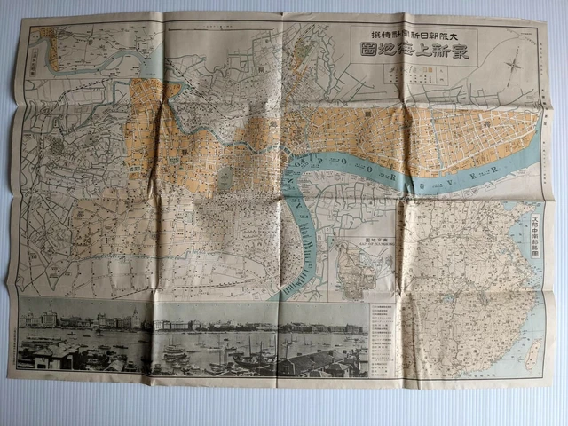
WW2 WWll Japanese Map of Shanghai China 1932 Showa 7 / Original Print Photo
$130.53 Buy It Now 17d 13h
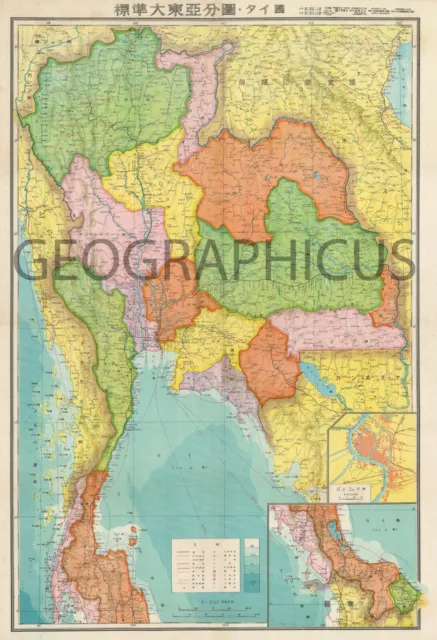
1942 Or Showa 17 Japanese Map Of Thailand
$295.00 Buy It Now 26d 7h
1942 Or Showa 17 Large Japanese Limited Edition Map Of Java
$295.00 Buy It Now 19d 8h
1943 Or Showa 18 Japanese Coprosperity Sphere Map Of Burma / Myanmar
$250.00 Buy It Now 18d 4h
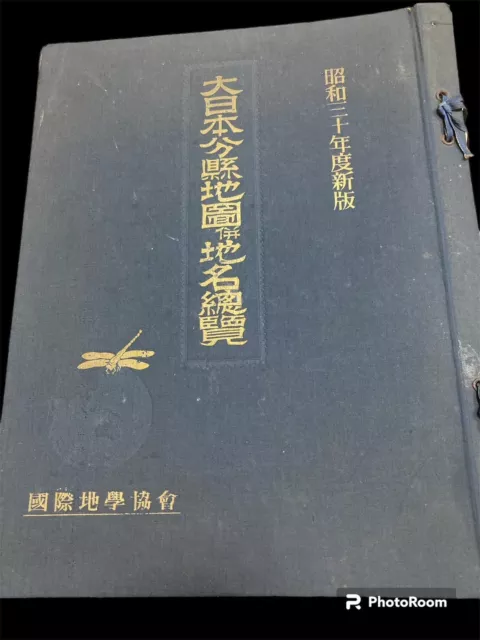
1955 JAPANESE VintageMAP Prefectures of Japan station index 50prints
$325.00 Buy It Now 15d 23h
