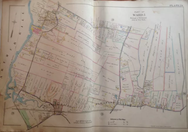
1898 Staten Island Pleasant Plains E. Robinnson Original Atlas Map 24X36
This is a 24x36 high quality high resolution reproduction on 70 lb. thick stock paper (see my feedback) 1898 E. Robinson atlas map covering the Pleasant Plains area of Richmond County / Staten Island in NYC.
Each color represents the type of structure. Yellow is wood, pink is brick, blue is iron and brown is stone. The X's through the buildings indicate it is a barn or stable. Brown indicates stone structures.
NOTE: Key in last photograph does not appear in actual map. It is just a reference to indicate what each symbol and color stands for.
Other sizes available upon request: 11x14, $19.95; 16x20, $24.95; 36x48, $89.95; 24x36 on Canvas $99.95.
I am selling my collection of rare maps. If there is a street address of Manhattan, Brooklyn, Queens, Bronx, Staten Island, Long Island, Rochester, Buffalo, Elmira, Newark, Atlantic City, Essex County, Montgomery County, Bergen County, Cleveland, Toledo, Kansas City, Washington, D.C., New Haven, Bridgeport, Toronto, Montreal, Vancouver, Portland, Maine, Seattle, Los Angeles, Denver, Boston, South Boston, Dorchester, Roxbury, Everett, Worcester, Brookline, Quincy, Newton, Malden, Lawrence, Middlesex County, Philadelphia, Pittsburgh, Harrisburg, Wilkes-Barre, Reading, Berks County, Delaware County, Montgomery County and other cities that you are interested in, please check out my other listings or contact me. I have insurance maps from 1880 to mid-1950s. Looks great framed! Check out my other items ! Be sure to add me to your favorites list !
- Condition: 24x36 high quality high resolution reproduction on 70 lb. thick stock paper. Other sizes available upon request -- 11x14,16x20, 36x48.
- Maker: E. ROBINSON
PicClick Insights - 1898 Staten Island Pleasant Plains E. Robinnson Original Atlas Map 24X36 PicClick Exclusive
- Popularity - 3 watchers, 0.0 new watchers per day, 2,930 days for sale on eBay. High amount watching. 1 sold, 10 available.
- Best Price -
- Seller - 2,733+ items sold. 2.2% negative feedback. Good seller with good positive feedback and good amount of ratings.
People Also Loved PicClick Exclusive
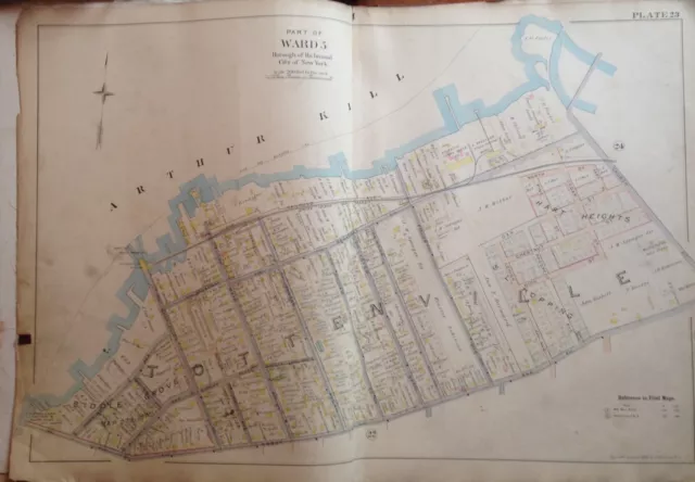
1898 Staten Island Tottenville New York E. Robinson Atlas Map 24X36
$49.95 Buy It Now 22d 7h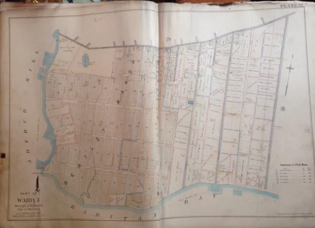
1898 Staten Island New York Tottenville E. Robinson Reproduction Atlas Map 24X36
$49.95 Buy It Now 22d 6h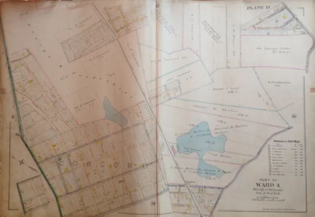
1898 STATEN ISLAND NY CONCORD, EMERSON HILL P.S. 2, E. ROBINNSON ATLAS MAP 24x36
$49.95 Buy It Now 22d 6h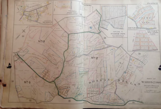
1898 Staten Island Ny Dougan Hills Moravian Cemetery Vanderbilt Maus. Atlas Map
$49.95 Buy It Now 22d 9h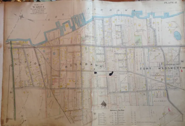
1898 Staten Island Clifton Ft. Wadsworth Robinson Reproduction Atlas Map
$49.95 Buy It Now 24d 16h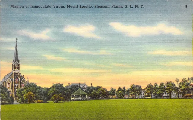 1 watcher
Linen Era,Pleasant Plains, Mount Loretto, Staten Island,NY, Old Postcard
$9.95 Buy It Now or Best Offer
Linen Era, Immaculate Virgin,Pleasant Plains, Staten Island,NY, Old Postcard
$9.95 Buy It Now or Best Offer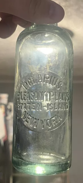 2 watchers
P. Clarius Pleasant Plains Staten-Island New York Hutchinson Bottle
$89.99 Buy It Now or Best Offer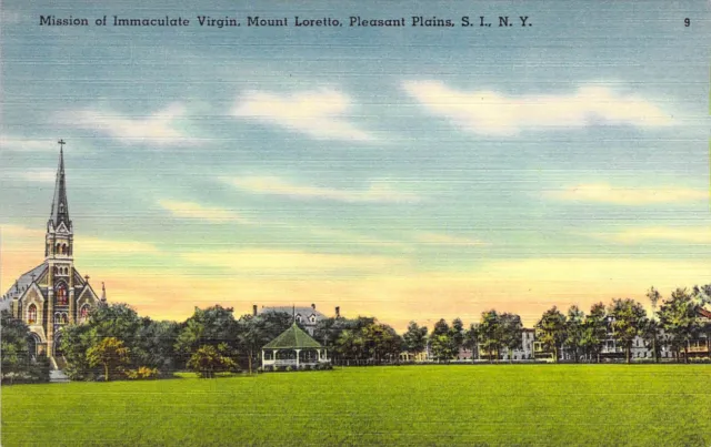
Linen Era, Mount Loretto, Pleasant Plains, Staten Island,NY, Old Postcard
$9.95 Buy It Now or Best Offer
