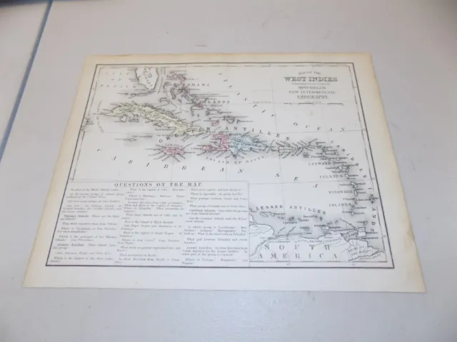
"WEST INDIES" Antique authentic Mitchell's Caribbean map 1876
$39.00 Buy It Now, $5.85 Shipping, 30-Day Returns, eBay Money Back Guarantee
Seller:  perdueantiquemapdealer ✉️ (371) 100%,
Location: Saint Petersburg, Florida, US,
Ships to: US & many other countries,
Item: 156167329156
"WEST INDIES" Antique authentic Mitchell's Caribbean map 1876. Original antique "MAP OF THE WEST INDIES". By: S. Augustus Mitchell. Published in the 1876 edition of "Mitchell's New Intermediate Geography". Measures approx. 12x 9.5 inches. Minor archival repair bottom right corner, not noticeable. This is an original antique NOT a reproduction. Items are shrink wrapped on acid free backing and mailed flat. 30-day return policy for any reason.
- Condition: Very good + condition
- Date Range: 1800-1899
- Type: World Atlas
- Format: Atlas Map
- Printing Technique: Copper Plate
- Year: 1876
- Original/Reproduction: Antique Original
- Cartographer/Publisher: S. Augustus Mitchell
- Country/Region: West Indies
PicClick Insights - "WEST INDIES" Antique authentic Mitchell's Caribbean map 1876 PicClick Exclusive
- Popularity - 1 watcher, 0.5 new watchers per day, 2 days for sale on eBay. Normal amount watching. 0 sold, 1 available.
- Best Price -
- Seller - 371+ items sold. 0% negative feedback. Top-Rated Plus! Top-Rated Seller, 30-day return policy, ships in 1 business day with tracking.
People Also Loved PicClick Exclusive

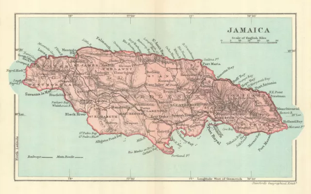
JAMAICA. Vintage map. West Indies. Caribbean 1910 old antique plan chart
$42.27 Buy It Now 25d 6h
1877 Antique Mitchell Map of WEST INDIES
$19.99 Buy It Now 13d 16h
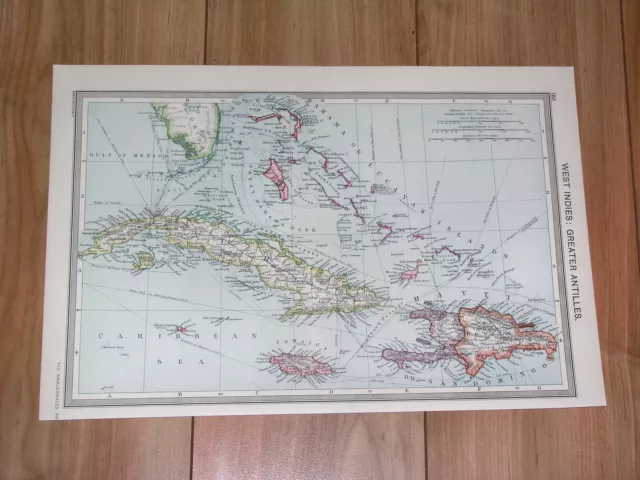
1908 Antique Map Of Florida Caribbean West Indies Bahamas Cuba Haiti Dominicana
$30.08 Buy It Now 26d 15h
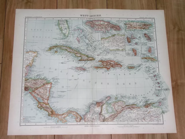
1911 Antique Map Of West Indies Caribbean Florida Bahamas Puerto Rico Costa Rica
$35.10 Buy It Now 26d 15h
West Indies. Caribbean. The American Mediterranean 1885 old antique map chart
$38.55 Buy It Now 3d 5h
1874 Mitchell's New Intermediate Geography Atlas Map-West Indies-Hand Colored
$12.00 0 Bids 6d 21h 7 watchers
 Caribbean Central America Mexico Cuba Bahamas Jamaica 1872 Mitchell map
$68.00$54.40 Buy It Now 2 watchers
1874 Mitchell Atlas Map Of Mexico, Central America, West Indies-Hand Colored
$10.00 Buy It Now

