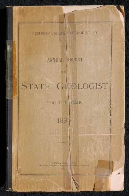
Geology, New Jersey, 1894 Original NJ Geological Survey Annual Report, Maps
Following the publication of the "Geology of New Jersey" in 1868, the New Jersey Legislature authorized a more extensive reporting program to the public. Annual reports which included summaries of progress and results of investigations were published through the year 1914 (beginning in 1915, annual reports of the State Geologist were administrative in nature). Annual reports for the years 1869 through 1909, including the volume on auction here, were published in the "Annual Report of the State Geologist Series."
Original Geological Survey New Jersey, Annual Report of the State Geologist for the Year 1894, printed by The John L. Murphy Publishing Company Printers, Trenton, New Jersey, 1895. Stiff cardboard wraps with noticeable wear, missing corners and edges, and the front wrap (and maybe the rear wrap also) appears to be have repaired after it had either split in two or was folded in two, there is a taped label of volume year on spine, many incredible foldout cross-sections and superb foldout color maps, slight browning of pages, well bound, 9 x 5-7/8 in., 303 pages, overall in very good condition. The contents of this volume are as follows:
PART I.-SURFACE GEOLOGY-Report of Progress, by Rollin D. Salisbury
Preface
Section I. Drift Deposits of North Jersey North of the Moraine
Geography of Northwestern New Jersey
A. Drift Deposits West of Green Pond Mountain
I. The Unstratified Drift-Till
Recessional Moraines
II. Stratified Drift-mainly in Valleys
Eskers
B. Drift on the Bearfort, Kanouse, Green Pond and Copperas Mountains
I. Till
II. Stratified Drift
C. Drift East of the Green Pond Mountain Range
I. Unstratified Drift-Till
II. Stratified Drift
II. The Glacial Striae of New Jersey
III. Changes in Drainage-Lakes-Changes in the Courses of Streams
Changes in Streams
The Lakes of Northern New Jersey
IV. Post-Glacial Changes Within the Glaciated Area
V. The Beacon Hill Formation
VI. The Pensauken Formation
VII. The Jamesburg Formation
VII. Post-Jamesburg Formations
IX. Road Material
X. Explanation of the Geological Map-Sheet 6
PART II. REPORT ON ARTESIAN WELLS IN SOUTHERN NEW JERSEY, by Lewis Woolman
Introduction
Artesian Wells in Miocene Strata
Artesian Wells in Cretaceous Strata
Artesian Wells, supplement to report
PART III. FORESTRY-Report of Progress
Introduction
Report on Forestry in the Northern Part of the State
Preliminary Report on the Forest Conditions of South Jersey.
This Map is Not Included in this Volume
Geological Map of the surface formations of the Valley of the Passaic, with the country eastward to Newark and southward to the Raritan river
PLATES.
PLATE I., Fig. 1. Section along the Flatbrook Valley
Fig. 2. Section-Paulinskill and Papakating Valleys
Fig. 3. Section-Pequest, Germany Flats, Wallkill Valleys
Fig. 4. Section-Ramapo Valley
PLATE II. Map of New Jersey, showing the general course of the ice movement in the last glacial epoch
PLATE III., Fig. 1. Section across topographic trough of State-Middlesex and Monmouth counties
Fig. 2. Section showing Beacon Hill, Pensauken and Jamesburg formations, in Burlington and Monmouth counties
Fig. 3. Section showing Clay marls, Pensauken and Jamesburg formations, in Burlington county
PLATE IV. Map of New Jersey, showing progress of work on surface formations
PLATE V. Vertical section of artesian well at Wildwood
PLATE VI. Diatoms
PLATE VII. Vertical sections of artesian wells at Atlantic City, Wildwood and Crisfield (Maryland)
PLATE VIII. Section showing artesian wells at Wenonah and Sewell
PLATE IX. Profile from near Mullica Hill to Millville, showing water- bearing beds
PLATE X. Profile through Marlton, showing artesian wells
PLATE XI. Map of New Jersey, showing forested areas
FIGURES.
Fig. 1. Profile of Vernon Valley
Striae of Palisade ridge-infolded
If applicable, measurements of the large plates can be made available upon request. Across all my historical and recent geological reference book auctions, there were over 100 large plates so I did not have the opportunity to measure them all but will gladly do if you are interested.
Note : This is an opportunity to own a long out-of-print New Jersey Geological Survey reference published by the NJGS from a time when they issued print versions of the State’s most important geological studies. This rare book is part of my entire expansive geological reference library (including many rare and vintage books from the 19th century) that I am selling as I approach retirement (please see my other auctions or search for “Geology" or under my eBay account "Rockman58").
*Please see my other auctions; I’m selling a number of more recent geological reference books and State geological publications, other miscellaneous books. Combining multiple sales of books for combined shipping is absolutely possible if they are purchased during the same week. Ignore the combined shipping price that eBay might show you, all they do is add all the shipping costs together - I will combine your purchases and quote you a revised shipping price. Thanks.*
**Please note: if you are bidding on a used or antique book. I do my best to accurately describe each book and identify any flaws it may have. If you have specific questions regarding its condition, please ask. I grade the books from visual inspection by browsing through to check for major defects but each page is not individually graded. Unless stated otherwise, some books will contain signs of wear and age which is normal within their age category. Note also that it is difficult to photograph slightly brownish pages of these antiquated references as my camera wants to correct that color to white; as such, any book from the mid-1800s to the early 1900s will generally have a very normal page browning even if my photos appear to be whitish or pinkish.**
***I have highlighted the Media Mail option for maximum cost savings for shipping books; however, please note that those delivery times can be as much as 7-10 days, per the USPS, depending on your location relative to where I am in southeast Pennsylvania.***
****Please consider All Sales to be Final, with no returns. Please be sure that this is the item you are looking for prior to bidding. If you have any questions about the content or condition of an item, please ask prior to placing a bid. Also, I can work with you to combine shipping on multiple auction wins to save you extra shipping costs. ****
- Condition: See description and photos
- Binding: Cardboard Wraps
- Place of Publication: Trenton, New Jersey
- Publisher: New Jersey Geological Survey
- Subject: Geological Research in New Jersey
- Modified Item: No
- Original/Facsimile: Original
- Year Printed: 1895
- Language: English
- Special Attributes: 1st Edition, Illustrated, Limited Edition
- Author: Geologists at the NJ Geological Survey
- Region: North America
- Topic: Geology
- Country/Region of Manufacture: United States
PicClick Insights - Geology, New Jersey, 1894 Original NJ Geological Survey Annual Report, Maps PicClick Exclusive
- Popularity - 0 watchers, 0.0 new watchers per day, 397 days for sale on eBay. 0 sold, 1 available.
- Best Price -
- Seller - 922+ items sold. 0% negative feedback. Great seller with very good positive feedback and over 50 ratings.
People Also Loved PicClick Exclusive
Geology, New Jersey, 1898 Original NJ Geological Survey Annual Report w Maps
$19.99 Buy It Now 1h 37m
Geology, New Jersey, 1893, Original NJ Geological Survey Annual Report, Maps
$17.99 Buy It Now 1h 42m
Geology New Jersey 1894 Geological Survey Annual Report Surface Deposits Artesia
$16.24 Buy It Now 15d 17h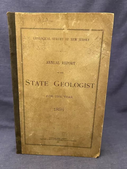
1894 New Jersey Geological Survey Annual Report of State Geologist Maps NJ Rare
$29.00 Buy It Now 8d 7h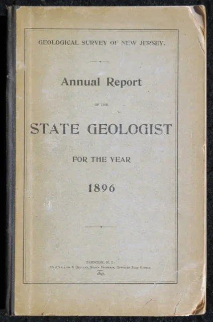
Geology, New Jersey, 1896 Original NJ Geological Survey Annual Report w Maps
$22.99 Buy It Now 1h 41m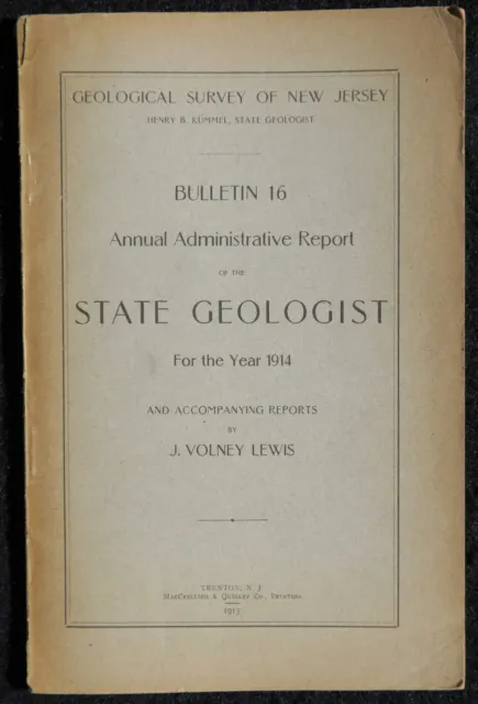
Geology, New Jersey, 1915 Original NJ Geological Survey Bulletin 16, Limestone
$9.99 Buy It Now or Best Offer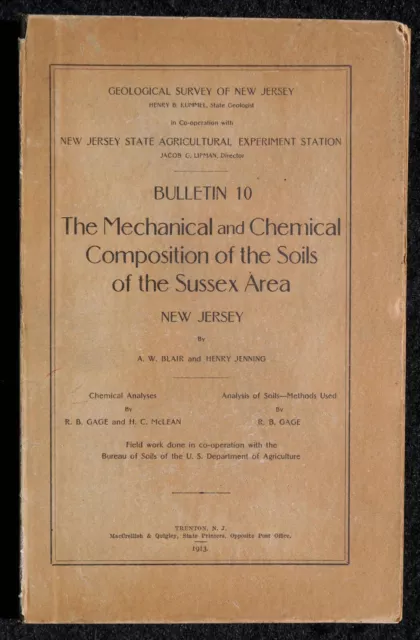
Geology, New Jersey, 1913 Original NJ Geological Survey Bulletin 10 Sussex Soils
$12.99 Buy It Now or Best Offer 2 watchers
Geology, New Jersey, 1912 Original NJ Geological Survey Bulletin 8, Shark River
$9.99 Buy It Now or Best Offer 1 watcher
Geology, New Jersey, 1889, Rare Original NJ Geological Survey Annual Report
$12.99 Buy It Now or Best Offer
Geology of New Jersey, 1940 Original NJ Geological Survey Bulletin 50, Map
$24.95 Buy It Now
