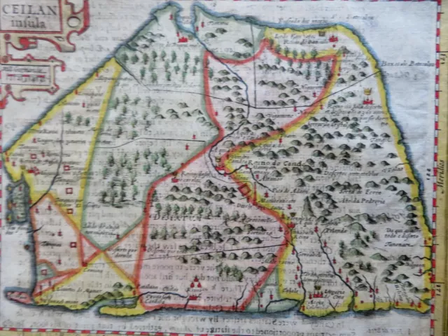
1829 Map ~ CEYLON - TAMBLEGAM - PALKS PASSAGE (9x11) Free S&H #1713
$20.00 Buy It Now, FREE Shipping, 30-Day Returns, eBay Money Back Guarantee
Seller: foreign-map-exchange ✉️ (121) 100%,
Location: Schertz, Texas, US,
Ships to: WORLDWIDE,
Item: 235481134088
1829 Map ~ CEYLON - TAMBLEGAM - PALKS PASSAGE (9x11) Free S&H #1713. This antique political map from 1829 features the areas of Ceylon, Tamblegam, and Palks Passage. Created by A. Arrowsmith, chartographer to the King, and engraved by Sidney Hall, this map is a beautiful piece of history with exquisite hand coloring. It is a perfect addition to any map, atlas, or antique collection.
The map measures 9x11 and comes with free shipping within the USA. Shipping costs for worldwide delivery are calculated based on location. Don't miss out on the opportunity to own a genuine antique original.
- Condition: We sell only Authentic Original Atlas Maps at a low price. Please don't buy a new or reproduction map for more money when you can have an antique piece. for much less!
- Type: Political Map
- Year: 1829
- S&H: Free S&H USA - Calculated S&H Worldwide
- Color: Beautiful hand coloring
- Original/Reproduction: Antique Original
- Cartographer/Publisher: A. Arrowsmith, chartographer th the King
- Engraved by: Sidney Hall
PicClick Insights - 1829 Map ~ CEYLON - TAMBLEGAM - PALKS PASSAGE (9x11) Free S&H #1713 PicClick Exclusive
- Popularity - 0 watchers, 0.0 new watchers per day, 29 days for sale on eBay. 0 sold, 1 available.
- Best Price -
- Seller - 121+ items sold. 0% negative feedback. Great seller with very good positive feedback and over 50 ratings.
People Also Loved PicClick Exclusive

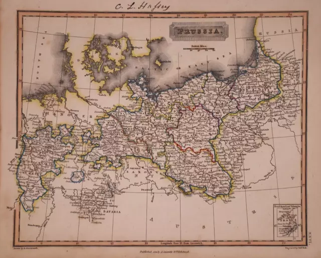
1829 Map ~ PRUSSIA - HANOVER - SAXONY ~ (9x11) Free S&H -#1697
$20.00 Buy It Now 2d 10h
1829 Map ~ ORKNEY SHETLAND ISLANDS - JERSEY GUERNSEY ~ (9x11) Free S&H -#1680
$20.00 Buy It Now 2d 10h
1829 Map ~ LOWER EGYPT - CANAL SYSTEMS - PYRAMIDS of GEEZA (9x11) Free S&H #1716
$20.00 Buy It Now 2d 10h
1829 Map ~ EUROPE ~ (9x11) Free S&H -#1676
$20.00 Buy It Now 2d 10h
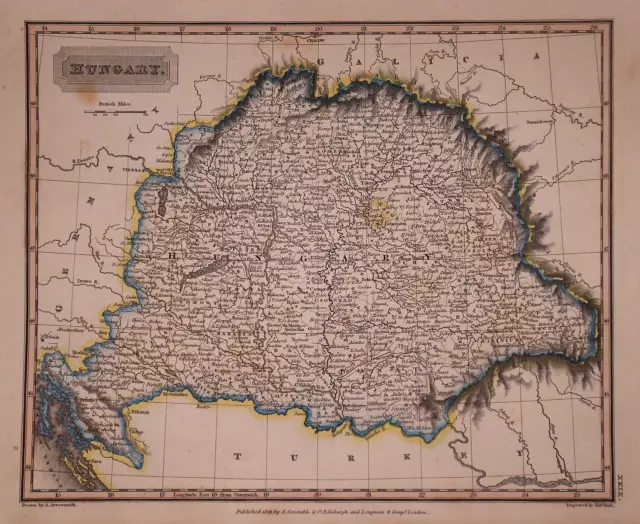
1829 Map ~ HUNGARY ~ (9x11) Free S&H -#1699
$20.00 Buy It Now 2d 10h 7 watchers
India & Sri Lanka 1783 D'anville & Schneider-Weigel Large Antique Original Map
$20.50 2 Bids 16h 50m
Ceylon (Sri Lanka) - Vintage Pictorial Map by Macdonald Gill 1933
$12.98 Buy It Now 1 watcher
Ceylon island Sri Lanka Ceilan c.1630's Hondius engraved hand colored map
$375.00$300.00 Buy It Now
Rare 1853 Map ~ SOUTHERN INDIA, CEYLON - MALDIVE ISLANDS (9.5x12) -#1604
$20.00 Buy It Now


