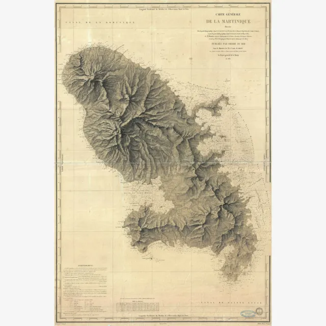
1831 Depot de la Marine Nautical Chart or Map of Martinique, West Indies
Your satisfaction is unconditionally guaranteed
MenuCategories - Bird's Eye Maps of US Cities
- Civil War Maps & Images
- United States Historical Maps
- Texas & Republic of Texas
- Europe & British Isles
- World Maps
- Asian/Eastern/African
- Science and NASA
- Novelty Maps & Posters
- Giclee Art Prints
- Subway & Railroad Maps
- Americas, Caribbean & Canada
- Nautical Charts
- CiA Maps
- Military & Aviation
- Astronomy & Zodiac
- Pacific, Australia & Poles
- Photographs & Drawings
- Feminism, Suffrage Etc.
- Other
1831 Depot de la Marine Nautical Chart or Map of Martinique, West Indies -
-
-
-
-
-
-
-
-
-
-
-
Any quantity available.
Contact us for multiple prints!
- 16 X 24 or 24 X 36 inches
- 40.5 X 61 or 61 X 91.5 cm
A beautiful French nautical chart or map of Martinique issued in 1831 by the Depot de la Marine. Offers sumptuous detail both inland at sea. There are countess depth soundings as well as notes on undersea features such as banks and shoals. Equally impressive detail inland with beautifully engraved topography throughout. Today Martinique, with its French Caribbean culture, lush rainforests, and stunning beaches is considered a jewel of the Caribbean. Issued by M. Monnier and M. Le Bourguignon-Duperre for the Depot-general de la Marine in 1831. Depot des Cartes et Plans de la Marine (1720 - present), often called the Depot de Marine, was a French hydrographic mapping organization founded in 1720 under Charles-Hercule of Albert de Luynes (674-1734). Much like the U.S. Coast Survey, the British Admiralty, and the Spanish Deposito Hydrografico, the Depot was initiated as a storehouse and distribution center of existing nautical and marine charts. Eventually the depot initiated its own mapping activities in an attempt to improve and expand upon existing material. Some of the more prominent cartographers and hydrographers associated with the of Depot des Cartes were Philippe Buache, Jacques-Nicholas Bellin, Giovanni Rizzi-Zannoni, Rigobert Bonne, and Jean Nicolas Buache.
our item will look exactly like the product photos in this listing, including any white or textured borders.Everything is printed on easy-to-frame standard sizes , and we never crop or distort images.
Your browser does not support the HTML5 Video element.Hanger Optional
Type
Simply select option with hanger.
For a no-fuss, low-cost, handsome framing solution add a magnetic hanger! Assembling with no tools in a less than a minute, these hand-made hangers are made of the highest quality teak hardwood and super strong neodymium magnets. Fantastic for gifts!
Categories - Bird's Eye Maps of US Cities
- Civil War Maps & Images
- United States Historical Maps
- Texas & Republic of Texas
- Europe & British Isles
- World Maps
- Asian/Eastern/African
- Science and NASA
- Novelty Maps & Posters
- Giclee Art Prints
- Subway & Railroad Maps
- Americas, Caribbean & Canada
- Nautical Charts
- CiA Maps
- Military & Aviation
- Astronomy & Zodiac
- Pacific, Australia & Poles
- Photographs & Drawings
- Feminism, Suffrage Etc.
- Other
Our Quality Process
We take quality seriously. Your item is custom printed on acid-free premium matte photo paper with archival inks. All items are printed just for you, one at a time, order by order. Unlike other sellers, we carefully restore each image digitally by eliminating major defects while preserving any minor marks or flaws that give these historic images charm.
Our Guarantee
If you are not completely happy with your purchase, simply return it for a prompt, full refund. Or, contact us and we will do our best to get you the poster you want.
Satisfaction Guaranteed
Shipping
All items shipped within one business day, USPS first class, free of charge. We carefully roll your poster and protect it in a rigid mailing tube.
Fast & free shipping
Payment
Paypal, credit and debit cards are all gratefully accepted.
Copyright © 2021 History Prints. All rights reserved. eBay Template Design by OCDesignsOnline
`- Condition: New
- Size: 16X24 With Magnetic Hanger
- Brand: History Prints
- Type: Giclee & Iris Print
- Material: Paper
PicClick Insights - 1831 Depot de la Marine Nautical Chart or Map of Martinique, West Indies PicClick Exclusive
- Popularity - 0 watchers, 0.0 new watchers per day, 219 days for sale on eBay. 0 sold, 2 available.
- Best Price -
- Seller - 1,878+ items sold. 0% negative feedback. Great seller with very good positive feedback and over 50 ratings.
People Also Loved PicClick Exclusive
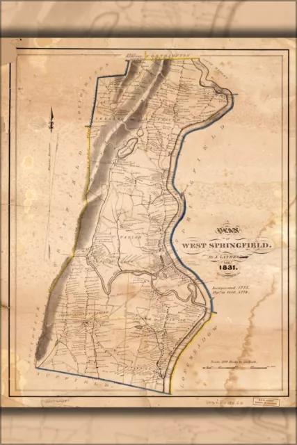
Poster, Many Sizes; Map Of West Springfield Massachusetts 1831
$24.03 Buy It Now 26d 5h
Map of West Indies and Caribbean; Antique Map, 1755
$29.99 Buy It Now 14d 20h
Map of Saint Christopher, West Indies; Antique Map by McMahon, 1828
$29.99 Buy It Now 24d 4h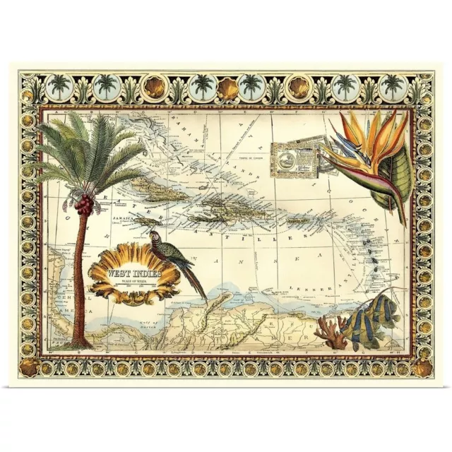
Tropical Map of West Indies Poster Art Print, Map Home Decor
$29.99 Buy It Now 26d 3h
Caribbean and West Indies Wall Map Mural and Poster Modern Day Antique Edition
$24.95 Buy It Now 20d 8h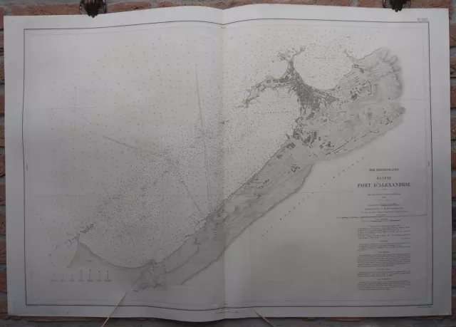 1 watcher
Antique Print-SEA CHART-EGYPT-ALEXANDRIA-COAST-Depot de la Marine-1869
$447.50 Buy It Now or Best Offer
Antique Print-SEA CHART-TANGIER-MOROCCO-GIBRALTAR STRAIT-Depot de la Marine-1857
$327.50 Buy It Now or Best Offer 1 watcher
Antique Print-SEA CHART-GREECE-ATHENS-METHANA-SPETSES-Depot de la Marine-1850
$327.50 Buy It Now or Best Offer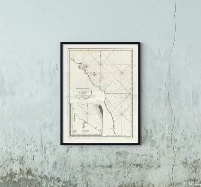
1798 Depot de la Marine Nautical Chart or of the Coast of Vietnam (Qui Nhom to D
$34.99 Buy It Now
